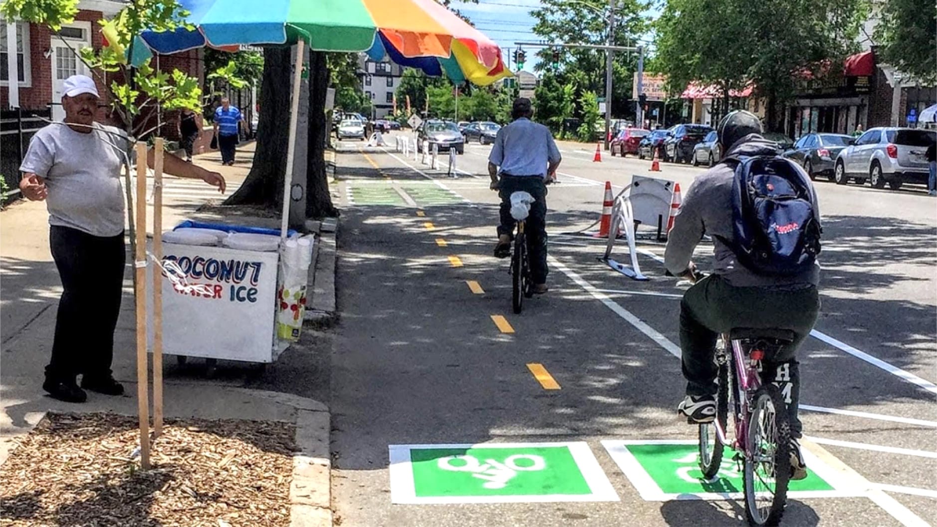
At its simplest, a network connection is a street, path, or intersection that links two safe bike routes together. Filling gaps in the existing bike network can have a multiplicative effect by maximizing the value of past investments to create continuous safe routes. However, filling in network gaps is a long-term, expensive endeavor in cities with vast urban sprawl, when there are many miles of roadways to fix but too few taxpayers to fund it. Smart land use policies can reduce sprawl, and, in the long term, exponentially improve a city’s bike network. Examples of sprawl reduction practices that lead to better bike networks include eliminating parking mandates, designing streets on a grid, increasing housing density, and incentivizing mixed-use and transit-oriented development.
Case Study: ,
Like many fast-growing sunbelt cities, Charlotte, North Carolina is reckoning with the dual challenges of decades of car-oriented street design and miles upon miles of low-density development. After building a new light rail line in 2007, Charlotte updated zoning regulations to enable infill development within a quarter mile of light rail stations, which brought more bikeable, walkable land use patterns to adjacent neighborhoods and kickstarted the evolution of the 11-mile Blue Line Rail Trail. Charlotte intends to build upon its recent success with transit-oriented and trail-oriented development through implementing the 2040 Comprehensive Plan and Strategic Mobility Plan, both of which will further ingrain bike-friendly land use patterns and street design into the city’s future.


